


Mayres passadou rieu

raab
User
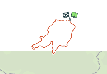

Length
7.5 km

Max alt
1003 m

Uphill gradient
436 m
Km-Effort
13.3 km

Min alt
571 m

Downhill gradient
439 m
Boucle
Yes
Creation date :
2021-05-02 12:25:15.468
Updated on :
2021-05-02 15:31:24.272
3h05
Difficulty : Difficult

FREE GPS app for hiking
 SityTrail
IGN / Geographical institutes
SityTrail Plus
The world is yours!
About
Trail Walking of 7.5 km to be discovered at Auvergne-Rhône-Alpes, Ardèche, Mayres. This trail is proposed by raab.
Positioning
Country:
France
Region :
Auvergne-Rhône-Alpes
Department/Province :
Ardèche
Municipality :
Mayres
Location:
Unknown
Start:(Dec)
Start:(UTM)
588503 ; 4946379 (31T) N.
Comments