


Cipieres observatoire Calern

winkelmuller
User


Length
11.2 km

Max alt
1277 m

Uphill gradient
526 m
Km-Effort
18.2 km

Min alt
762 m

Downhill gradient
525 m
Boucle
Yes
Creation date :
2021-05-03 08:49:27.124
Updated on :
2021-05-03 14:29:47.443
4h50
Difficulty : Medium

FREE GPS app for hiking
 SityTrail
IGN / Geographical institutes
SityTrail Plus
The world is yours!
About
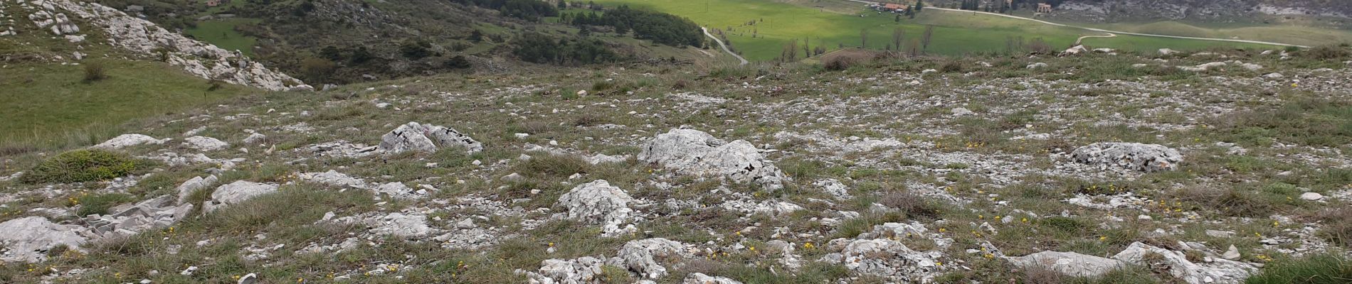
Trail Walking of 11.2 km to be discovered at Provence-Alpes-Côte d'Azur, Maritime Alps, Cipières. This trail is proposed by winkelmuller.
Photos


Positioning
Country:
France
Region :
Provence-Alpes-Côte d'Azur
Department/Province :
Maritime Alps
Municipality :
Cipières
Location:
Unknown
Start:(Dec)
Start:(UTM)
335480 ; 4849806 (32T) N.
Comments