


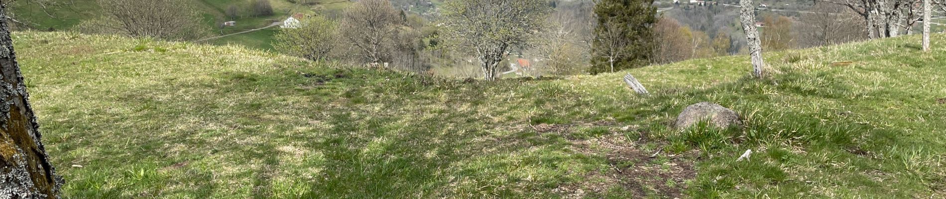
Col du Brabant - Roche du Lac via Collet-Masuy

alfreson
User
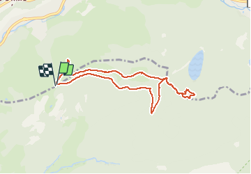

Length
7.9 km

Max alt
1121 m

Uphill gradient
309 m
Km-Effort
12.1 km

Min alt
880 m

Downhill gradient
312 m
Boucle
Yes
Creation date :
2021-05-04 06:47:28.0
Updated on :
2021-05-04 12:16:22.242
2h26
Difficulty : Difficult

FREE GPS app for hiking
 SityTrail
IGN / Geographical institutes
SityTrail Plus
The world is yours!
About
Trail Walking of 7.9 km to be discovered at Grand Est, Vosges, Cornimont. This trail is proposed by alfreson.
Photos


Positioning
Country:
France
Region :
Grand Est
Department/Province :
Vosges
Municipality :
Cornimont
Location:
Unknown
Start:(Dec)
Start:(UTM)
341089 ; 5317111 (32T) N.
Comments