


20210504 charleval

doudet
User
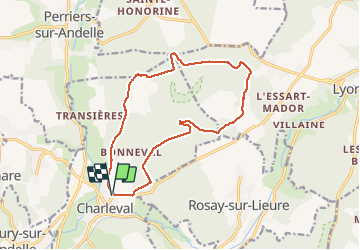

Length
13.8 km

Max alt
169 m

Uphill gradient
230 m
Km-Effort
16.8 km

Min alt
38 m

Downhill gradient
230 m
Boucle
Yes
Creation date :
2021-05-04 11:56:35.418
Updated on :
2021-05-05 07:46:54.308
3h41
Difficulty : Medium

FREE GPS app for hiking
 SityTrail
IGN / Geographical institutes
SityTrail Plus
The world is yours!
About
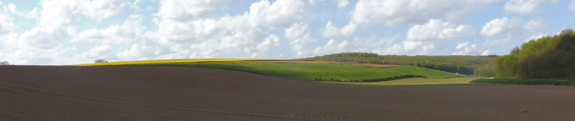
Trail Walking of 13.8 km to be discovered at Normandy, Eure, Charleval. This trail is proposed by doudet.
Description
Boucle A-R au départ du cimetière de Charleval
Photos


25 photos in total. Please click on a photo to see them all in the gallery.
Positioning
Country:
France
Region :
Normandy
Department/Province :
Eure
Municipality :
Charleval
Location:
Unknown
Start:(Dec)
Start:(UTM)
382868 ; 5470387 (31U) N.
Comments