


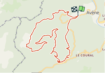
Avène - La plaine de Sadde

PiloudeBamako
User


5h16
Difficulty : Difficult

FREE GPS app for hiking
 SityTrail
IGN / Geographical institutes
SityTrail Plus
The world is yours!
About
Trail Walking of 16.1 km to be discovered at Occitania, Hérault, Avène. This trail is proposed by PiloudeBamako.
Description
Départ au-dessus d'Avenue le long du ruisseau de l'Avennette (station de pompage).
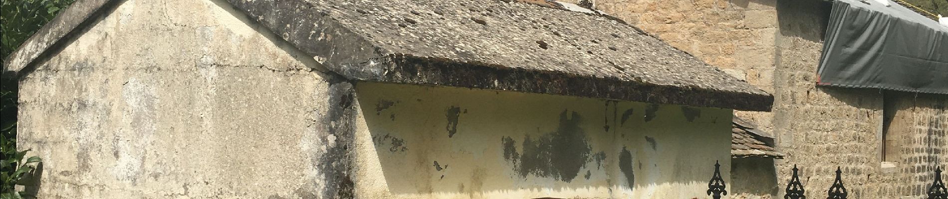
Boucle en forêt passant par Sadde, La Régasse, Frayssinet, Pioch On jusqu'à la chapelle Saint-André et son ancien cimetière
Attention accès difficile au chemin après la chapelle Saint-André. Il faut passer derrière les ruches. Suivre précisément la trace gpx.
Photos


Positioning
Comments