


Choignes Chamarandes/chemin des écluses.

janussity
User
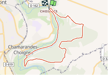

Length
9.7 km

Max alt
362 m

Uphill gradient
155 m
Km-Effort
11.7 km

Min alt
256 m

Downhill gradient
156 m
Boucle
Yes
Creation date :
2021-05-07 09:36:56.401
Updated on :
2021-05-07 09:38:54.871
2h40
Difficulty : Medium

FREE GPS app for hiking
 SityTrail
IGN / Geographical institutes
SityTrail Plus
The world is yours!
About
Trail Walking of 9.7 km to be discovered at Grand Est, Haute-Marne, Chamarandes-Choignes. This trail is proposed by janussity.
Positioning
Country:
France
Region :
Grand Est
Department/Province :
Haute-Marne
Municipality :
Chamarandes-Choignes
Location:
Unknown
Start:(Dec)
Start:(UTM)
661623 ; 5330607 (31U) N.
Comments