


Reclancourt

janussity
User
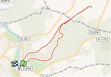

Length
9.2 km

Max alt
347 m

Uphill gradient
129 m
Km-Effort
11 km

Min alt
254 m

Downhill gradient
129 m
Boucle
Yes
Creation date :
2021-05-09 11:45:10.128
Updated on :
2021-05-09 14:20:46.141
2h16
Difficulty : Medium

FREE GPS app for hiking
 SityTrail
IGN / Geographical institutes
SityTrail Plus
The world is yours!
About
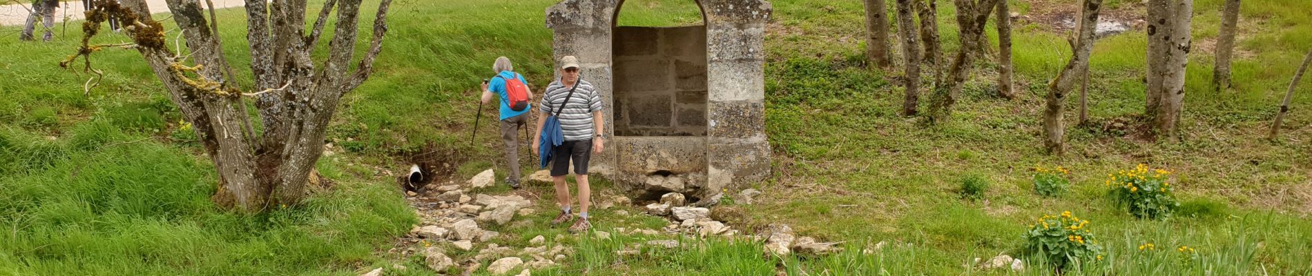
Trail Walking of 9.2 km to be discovered at Grand Est, Haute-Marne, Chaumont. This trail is proposed by janussity.
Photos

Positioning
Country:
France
Region :
Grand Est
Department/Province :
Haute-Marne
Municipality :
Chaumont
Location:
Unknown
Start:(Dec)
Start:(UTM)
660351 ; 5331570 (31U) N.
Comments