


ceps l ayrole

Daron34
User
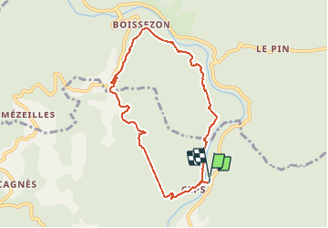

Length
8.5 km

Max alt
299 m

Uphill gradient
362 m
Km-Effort
13.3 km

Min alt
90 m

Downhill gradient
355 m
Boucle
Yes
Creation date :
2021-05-14 09:34:58.333
Updated on :
2021-05-14 13:43:59.087
3h52
Difficulty : Medium

FREE GPS app for hiking
 SityTrail
IGN / Geographical institutes
SityTrail Plus
The world is yours!
About
Trail Walking of 8.5 km to be discovered at Occitania, Hérault, Roquebrun. This trail is proposed by Daron34.
Description
boucle 8kms
Positioning
Country:
France
Region :
Occitania
Department/Province :
Hérault
Municipality :
Roquebrun
Location:
Unknown
Start:(Dec)
Start:(UTM)
499385 ; 4817946 (31T) N.
Comments