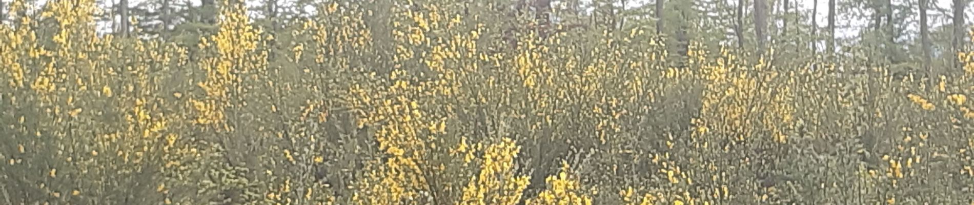
à travers les bois d Anthines et d Esneux

stef789
User GUIDE
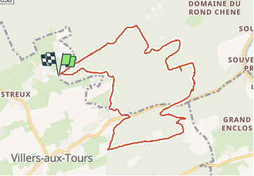

Length
11 km

Max alt
290 m

Uphill gradient
298 m
Km-Effort
15 km

Min alt
184 m

Downhill gradient
299 m
Boucle
Yes
Creation date :
2021-05-14 10:02:42.924
Updated on :
2021-05-14 13:55:15.625
3h01
Difficulty : Very easy

FREE GPS app for hiking
 SityTrail
IGN / Geographical institutes
SityTrail Plus
The world is yours!
About
Trail Walking of 11 km to be discovered at Wallonia, Liège, Esneux. This trail is proposed by stef789.
Photos


Positioning
Country:
Belgium
Region :
Wallonia
Department/Province :
Liège
Municipality :
Esneux
Location:
Esneux
Start:(Dec)
Start:(UTM)
678261 ; 5598323 (31U) N.
Comments