


CONDROZ MATAGNE-GOESNES-JAMAGNE-PERWEZ-HAILLOT

JEANMINNE
User


Length
16.6 km

Max alt
285 m

Uphill gradient
265 m
Km-Effort
20 km

Min alt
199 m

Downhill gradient
263 m
Boucle
Yes
Creation date :
2021-05-23 06:39:18.574
Updated on :
2021-05-23 16:04:55.275
9h23
Difficulty : Medium

FREE GPS app for hiking
 SityTrail
IGN / Geographical institutes
SityTrail Plus
The world is yours!
About
Trail Walking of 16.6 km to be discovered at Wallonia, Namur, Ohey. This trail is proposed by JEANMINNE.
Description
Bouchenia-Campagne de Jallet-Bois de Rouchon-Tienne de Tahier-Goesnes-Jamagne-Saule Marie-Bois d'Oneu-Baya-Pont de Jallet-Ferme de la Belle Alliance-Perwez-Haillot-Matagne
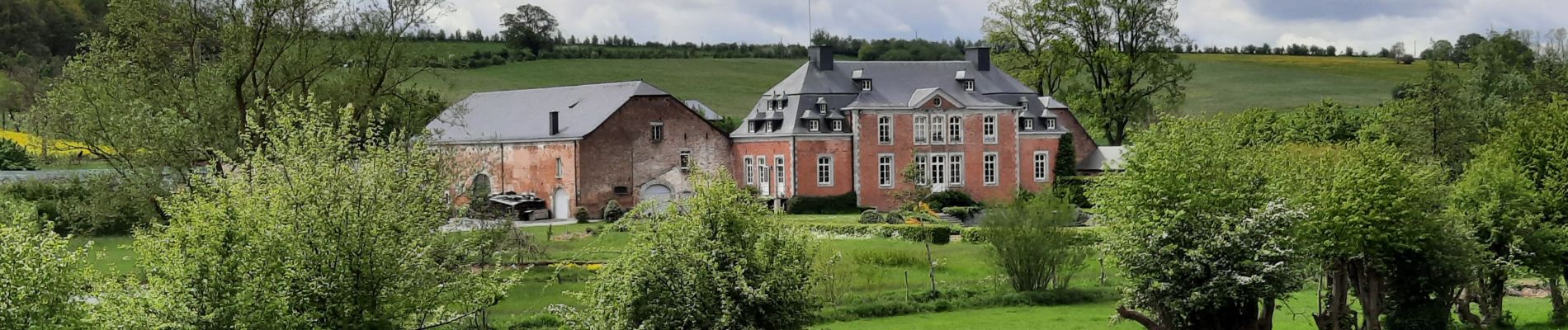
Photos


Positioning
Country:
Belgium
Region :
Wallonia
Department/Province :
Namur
Municipality :
Ohey
Location:
Unknown
Start:(Dec)
Start:(UTM)
653270 ; 5589602 (31U) N.
Comments