


arsel de St Étienne vallée française à la roquette

labarone
User

Length
20 km

Max alt
615 m

Uphill gradient
671 m
Km-Effort
29 km

Min alt
232 m

Downhill gradient
671 m
Boucle
Yes
Creation date :
2021-05-25 07:15:57.276
Updated on :
2021-05-25 14:15:06.006
6h13
Difficulty : Easy

FREE GPS app for hiking
 SityTrail
IGN / Geographical institutes
SityTrail Plus
The world is yours!
About
Trail Walking of 20 km to be discovered at Occitania, Lozère, Saint-Étienne-Vallée-Française. This trail is proposed by labarone.
Description
belle randonnée surtout au depar
prudence pour longer la rivière surtout pour ceux qui ont le vertige (passage interdit ... !!)
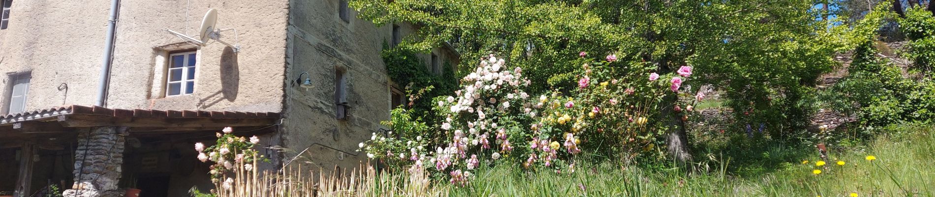
Photos


Positioning
Country:
France
Region :
Occitania
Department/Province :
Lozère
Municipality :
Saint-Étienne-Vallée-Française
Location:
Unknown
Start:(Dec)
Start:(UTM)
567310 ; 4890526 (31T) N.
Comments