


Balade en campagne

yannick-p
User
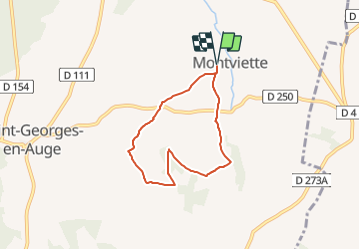

Length
5.4 km

Max alt
181 m

Uphill gradient
89 m
Km-Effort
6.6 km

Min alt
136 m

Downhill gradient
91 m
Boucle
Yes
Creation date :
2021-05-25 21:33:00.693
Updated on :
2021-05-25 22:01:26.27
3h20
Difficulty : Easy

FREE GPS app for hiking
 SityTrail
IGN / Geographical institutes
SityTrail Plus
The world is yours!
About
Trail Geocaching of 5.4 km to be discovered at Normandy, Calvados, Saint-Pierre-en-Auge. This trail is proposed by yannick-p.
Description
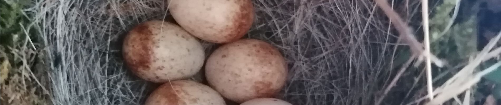
Photos


Positioning
Country:
France
Region :
Normandy
Department/Province :
Calvados
Municipality :
Saint-Pierre-en-Auge
Location:
Montviette
Start:(Dec)
Start:(UTM)
287397 ; 5431482 (31U) N.
Comments