


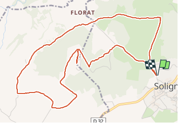


10.1 km | 14.9 km-effort

User


FREE GPS app for hiking
 SityTrail
IGN / Geographical institutes
SityTrail World
The world is yours!
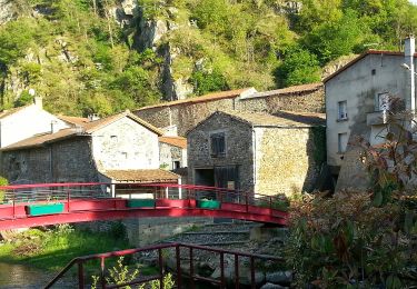
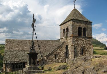
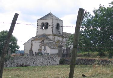
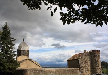
Trail Walking of 7.3 km to be discovered at Auvergne-Rhône-Alpes, Puy-de-Dôme, Solignat. This trail is proposed by walrou63.
Départ depuis le parking réservé aux camping-cars. super 360° au sommet du Puy ainsi que de jolis vues tout au long de cette rando sur Vodable, Ronzières et Tourzel.


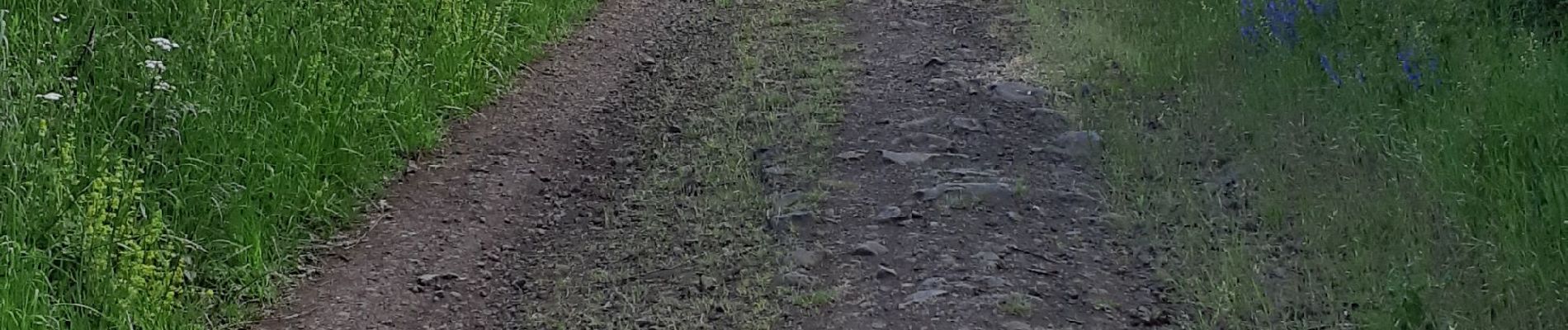
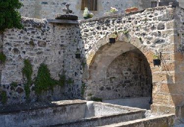
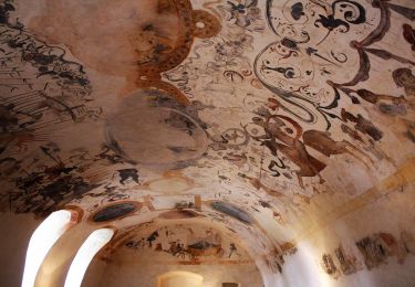
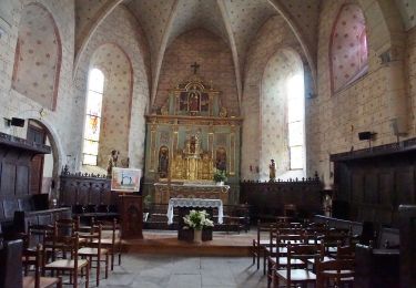
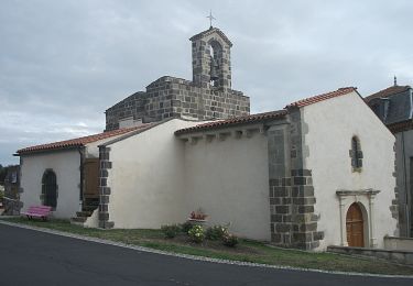
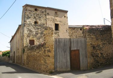
28 photos in total. Please click on a photo to see them all in the gallery.
Walking
On foot
On foot
On foot
On foot
On foot
On foot
On foot
On foot