


Chambly Gabdicourt, Ronquerole

avdem
User
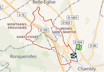

Length
8.9 km

Max alt
94 m

Uphill gradient
91 m
Km-Effort
10.1 km

Min alt
35 m

Downhill gradient
93 m
Boucle
No
Creation date :
2021-05-27 07:27:38.34
Updated on :
2021-05-27 09:47:26.993
2h05
Difficulty : Medium

FREE GPS app for hiking
 SityTrail
IGN / Geographical institutes
SityTrail Plus
The world is yours!
About
Trail Walking of 8.9 km to be discovered at Hauts-de-France, Oise, Chambly. This trail is proposed by avdem.
Description
belle
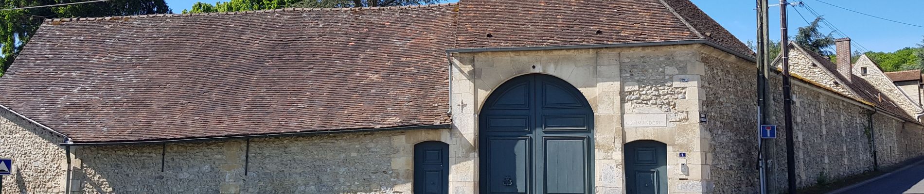
Photos


Positioning
Country:
France
Region :
Hauts-de-France
Department/Province :
Oise
Municipality :
Chambly
Location:
Unknown
Start:(Dec)
Start:(UTM)
444423 ; 5446874 (31U) N.
Comments