


Mielandre

raygautier
User
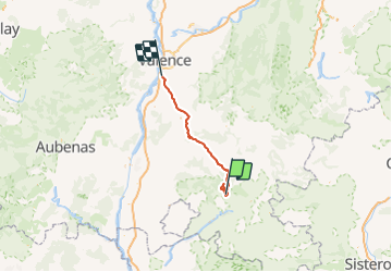

Length
85 km

Max alt
1443 m

Uphill gradient
1826 m
Km-Effort
110 km

Min alt
109 m

Downhill gradient
2244 m
Boucle
No
Creation date :
2021-05-27 06:53:52.0
Updated on :
2021-05-27 20:02:45.291
6h45
Difficulty : Very difficult

FREE GPS app for hiking
 SityTrail
IGN / Geographical institutes
SityTrail Plus
The world is yours!
About
Trail Walking of 85 km to be discovered at Auvergne-Rhône-Alpes, Drôme, Valouse. This trail is proposed by raygautier.
Photos


Positioning
Country:
France
Region :
Auvergne-Rhône-Alpes
Department/Province :
Drôme
Municipality :
Valouse
Location:
Unknown
Start:(Dec)
Start:(UTM)
675188 ; 4924140 (31T) N.
Comments