


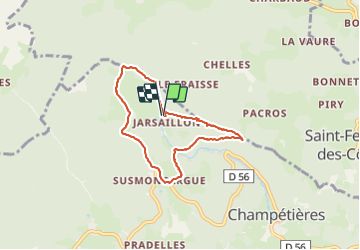

14.4 km | 20 km-effort

User


FREE GPS app for hiking
 SityTrail
IGN / Geographical institutes
SityTrail World
The world is yours!
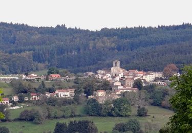
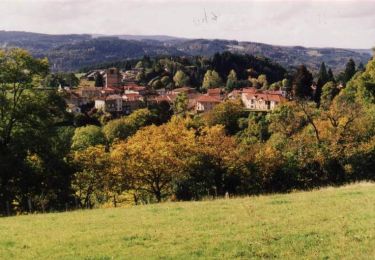
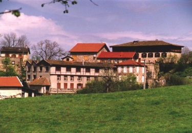
Trail Walking of 6.6 km to be discovered at Auvergne-Rhône-Alpes, Puy-de-Dôme, Champétières. This trail is proposed by Gegetop.
Petite boucle à travers les forêts de sapins.
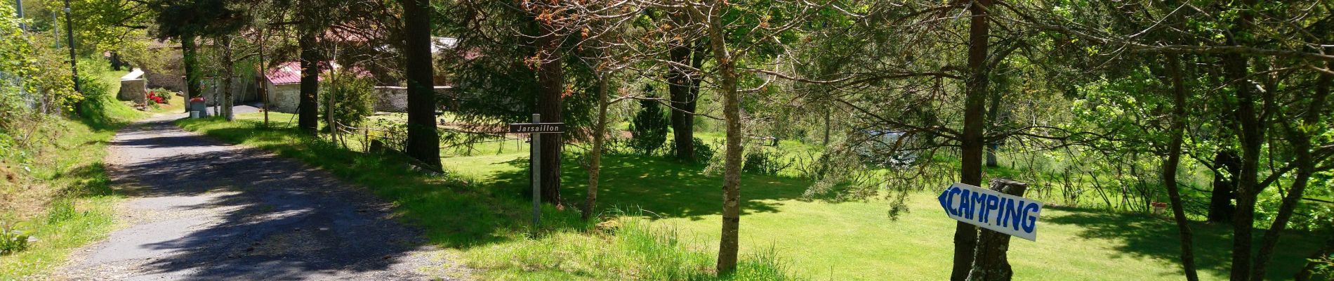
Départ et retour au camping de Jarsaillon.


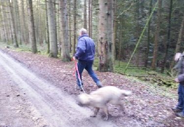
On foot
On foot
On foot
On foot
Walking
Walking
Mountain bike
Mountain bike
Mountain bike