


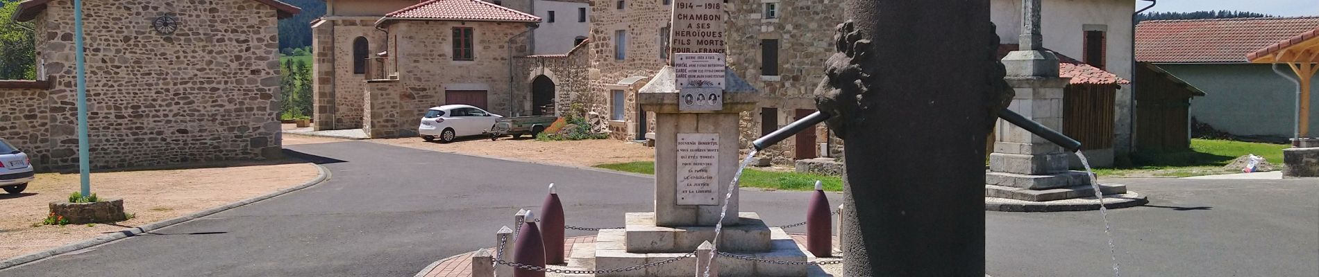
Chambon sur Dolore

Gegetop
User
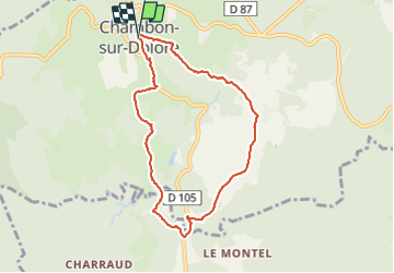

Length
7.9 km

Max alt
1027 m

Uphill gradient
194 m
Km-Effort
10.5 km

Min alt
882 m

Downhill gradient
192 m
Boucle
Yes
Creation date :
2021-05-29 09:01:27.392
Updated on :
2021-05-29 13:19:56.72
2h00
Difficulty : Easy

FREE GPS app for hiking
 SityTrail
IGN / Geographical institutes
SityTrail Plus
The world is yours!
About
Trail Walking of 7.9 km to be discovered at Auvergne-Rhône-Alpes, Puy-de-Dôme, Chambon-sur-Dolore. This trail is proposed by Gegetop.
Description
Cette balade correspond à l'ancien balisage bleu.
Photos

Positioning
Country:
France
Region :
Auvergne-Rhône-Alpes
Department/Province :
Puy-de-Dôme
Municipality :
Chambon-sur-Dolore
Location:
Unknown
Start:(Dec)
Start:(UTM)
547873 ; 5038369 (31T) N.
Comments