


l'étang de Riols

Gegetop
User

Length
10.8 km

Max alt
757 m

Uphill gradient
278 m
Km-Effort
14.5 km

Min alt
551 m

Downhill gradient
280 m
Boucle
Yes
Creation date :
2021-05-31 09:32:41.327
Updated on :
2021-05-31 12:59:06.703
2h45
Difficulty : Easy
2h30
Difficulty : Easy

FREE GPS app for hiking
 SityTrail
IGN / Geographical institutes
SityTrail Plus
The world is yours!
About
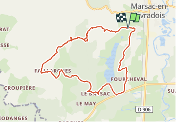
Trail Walking of 10.8 km to be discovered at Auvergne-Rhône-Alpes, Puy-de-Dôme, Marsac-en-Livradois. This trail is proposed by Gegetop.
Description
Jolie balade à faire en famille 👪
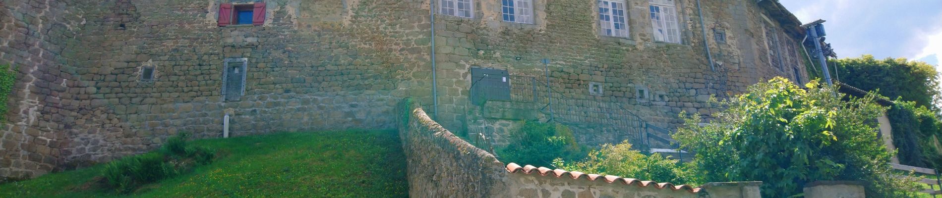
Photos

Positioning
Country:
France
Region :
Auvergne-Rhône-Alpes
Department/Province :
Puy-de-Dôme
Municipality :
Marsac-en-Livradois
Location:
Unknown
Start:(Dec)
Start:(UTM)
556210 ; 5035922 (31T) N.
Comments