


base de loisirs d'Etampes

c.chehere
User
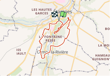

Length
14.6 km

Max alt
145 m

Uphill gradient
192 m
Km-Effort
17.1 km

Min alt
65 m

Downhill gradient
192 m
Boucle
Yes
Creation date :
2021-06-01 07:39:16.076
Updated on :
2021-06-01 15:22:12.739
4h56
Difficulty : Medium

FREE GPS app for hiking
 SityTrail
IGN / Geographical institutes
SityTrail Plus
The world is yours!
About
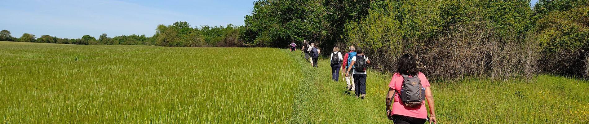
Trail Walking of 14.6 km to be discovered at Ile-de-France, Essonne, Étampes. This trail is proposed by c.chehere.
Description
Parking à la base de loisirs. En passant par Ormoy la rivière.
Photos


Positioning
Country:
France
Region :
Ile-de-France
Department/Province :
Essonne
Municipality :
Étampes
Location:
Unknown
Start:(Dec)
Start:(UTM)
437659 ; 5364117 (31U) N.
Comments