


Collonge en Charollais Le Mont St Vincent page 157

grasgilbert
User
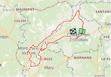

Length
19.4 km

Max alt
608 m

Uphill gradient
470 m
Km-Effort
26 km

Min alt
286 m

Downhill gradient
470 m
Boucle
Yes
Creation date :
2021-06-03 07:17:06.771
Updated on :
2023-06-01 16:11:31.89
6h53
Difficulty : Medium

FREE GPS app for hiking
 SityTrail
IGN / Geographical institutes
SityTrail Plus
The world is yours!
About
Trail Walking of 19.4 km to be discovered at Bourgogne-Franche-Comté, Saône-et-Loire, Collonge-en-Charollais. This trail is proposed by grasgilbert.
Description
ne pas faire à l'envers montée le matin et descente à l'ombre l'après midi
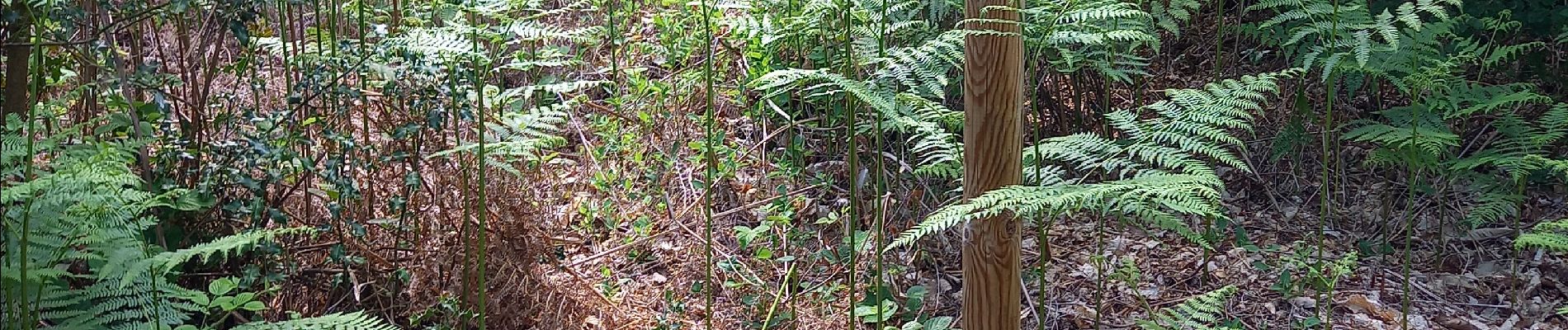
Photos


Positioning
Country:
France
Region :
Bourgogne-Franche-Comté
Department/Province :
Saône-et-Loire
Municipality :
Collonge-en-Charollais
Location:
Unknown
Start:(Dec)
Start:(UTM)
617307 ; 5166325 (31T) N.
Comments
très bien