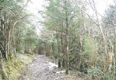
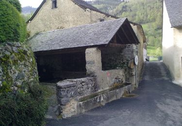
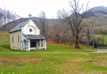
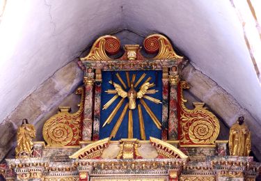
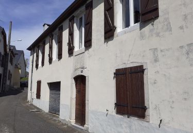
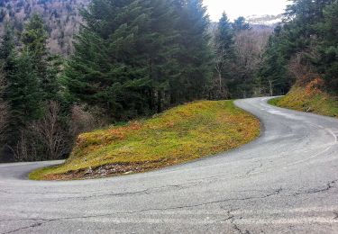
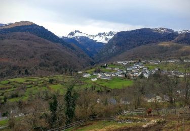
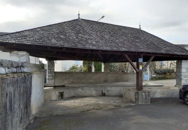
Trail Walking Sainte-Colome - Boucle depuis Sainte-Colome en vallée d'Ossau - Photo

Boucle depuis Sainte-Colome en vallée d'Ossau

© OpenStreetMap contributors
Length
Length
5.9 km
Max alt
Max alt
545 m
Uphill gradient
Uphill gradient
207 m
Km-Effort
Km-Effort  
8.7 km
Min alt
Min alt
376 m
Downhill gradient
Downhill gradient
208 m
Boucle
Boucle
Yes
Creation date :
2021-06-04 15:26:02.797
Updated on :
2022-06-08 13:56:14.868

(0 Reviews)

Walking
Walking
1h58
Difficulty : Medium

Scan this QR Code to open this trail in the SityTrail application

FREE GPS app for hiking

Logo SityTrail SityTrail

IGN / Geographical institutes

Download SityTrail from the App Store Download SityTrail from Google Play

Logo SityTrail SityTrail World

The world is yours!

Download SityTrail from the App Store Download SityTrail from Google Play Download SityTrail on Huawei AppGallery

About

Trail Walking of 5.9 km to be discovered at New Aquitaine, Pyrénées-Atlantiques, Sainte-Colome. This trail is proposed by mitch1952.

Elevation profile

Points of interest

Point of interest Sainte-Colome - Bifurcation avant l'école - Photo
mitch1952
Point of interest Sainte-Colome - A gauche en légère descente - Photo
mitch1952
Point of interest Sainte-Colome - A droite en descente - Photo
mitch1952
SAINTE-COLOME 
Point of interest Sainte-Colome - Patte d'oie - Photo
mitch1952
SAINTE-COLOME 
Point of interest Sainte-Colome - Attention chevaux - Photo
mitch1952
SAINTE-COLOME 
Point of interest Louvie-Juzon - Barrière - Photo
mitch1952
LOUVIE-JUZON 
Point of interest Louvie-Juzon - Circuit VTT - Photo
mitch1952
LOUVIE-JUZON 
Point of interest Sainte-Colome - À gauche en montée - Photo
mitch1952
SAINTE-COLOME 
Point of interest Sainte-Colome - Intersection - Photo
mitch1952
SAINTE-COLOME 
Point of interest Sainte-Colome - Borde de Lasserre - Photo
mitch1952
SAINTE-COLOME 
Point of interest Sainte-Colome - À droite en montée - Photo
mitch1952
SAINTE-COLOME 
Point of interest Sainte-Colome - Traversée de la D232 - Photo
mitch1952
SAINTE-COLOME 
Point of interest Sainte-Colome - D232 - Photo
mitch1952
SAINTE-COLOME 
Point of interest Sainte-Colome - A gauche vers village - Photo
mitch1952
SAINTE-COLOME 

Positioning

Country:
France
Region :
New Aquitaine
Department/Province :
Pyrénées-Atlantiques
Municipality :
Sainte-Colome
Location:
Unknown
Start:(UTM)
711227 ; 4775411 (30T) N.

Trails nearby

Trail Walking Louvie-Juzon - Soum de las Picarras Montagne du Rey - Photo
Walking
DuMarsan

Walking

Easy
(1)
Louvie-Juzon, New Aquitaine, Pyrénées-Atlantiques, France
12.2 km | 25 km-effort
5h 16min
Yes
Trail On foot Bilhères - Les cercles de pierre (Bilhères) - Photo
On foot
PRO

On foot

Easy
Bilhères, New Aquitaine, Pyrénées-Atlantiques, France
7.2 km | 11.6 km-effort
2h 37min
Yes
Trail On foot Bilhères - Les cabanes de Lasbordes - Photo
On foot
PRO

On foot

Easy
Bilhères, New Aquitaine, Pyrénées-Atlantiques, France
11.2 km | 19.7 km-effort
4h 28min
Yes
Trail On foot Louvie-Juzon - Le piémont du Rey - Photo
On foot
PRO

On foot

Easy
Louvie-Juzon, New Aquitaine, Pyrénées-Atlantiques, France
3.5 km | 10.2 km-effort
2h 19min
No
Trail On foot Arudy - Le tour du bassin d'Arudy - Photo
On foot
PRO

On foot

Medium
Arudy, New Aquitaine, Pyrénées-Atlantiques, France
19.2 km | 27 km-effort
6h 7min
Yes
Trail On foot Sainte-Colome - Les buis - Photo
On foot
PRO

On foot

Easy
Sainte-Colome, New Aquitaine, Pyrénées-Atlantiques, France
6.1 km | 8.8 km-effort
2h 0min
Yes
Trail On foot Bilhères - Le Turon de Técouère - Photo
On foot
PRO

On foot

Easy
Bilhères, New Aquitaine, Pyrénées-Atlantiques, France
6.3 km | 7.9 km-effort
1h 47min
Yes
Trail On foot Bilhères - Les cercles de pierre - Photo
On foot
PRO

On foot

Easy
Bilhères, New Aquitaine, Pyrénées-Atlantiques, France
3.5 km | 5.5 km-effort
1h 15min
Yes
Trail On foot Buzy - Les chênes - Photo
On foot
PRO

On foot

Easy
Buzy, New Aquitaine, Pyrénées-Atlantiques, France
4 km | 5.1 km-effort
1h 9min
Yes


Close
My subscriptions