


Lacs de Prals en boucle depuis Saint Grat

aris
User


Length
9.9 km

Max alt
2443 m

Uphill gradient
994 m
Km-Effort
23 km

Min alt
1554 m

Downhill gradient
993 m
Boucle
Yes
Creation date :
2021-06-06 07:02:07.261
Updated on :
2021-06-06 15:32:49.89
4h34
Difficulty : Medium

FREE GPS app for hiking
 SityTrail
IGN / Geographical institutes
SityTrail Plus
The world is yours!
About
Trail Walking of 9.9 km to be discovered at Provence-Alpes-Côte d'Azur, Maritime Alps, Belvédère. This trail is proposed by aris.
Description
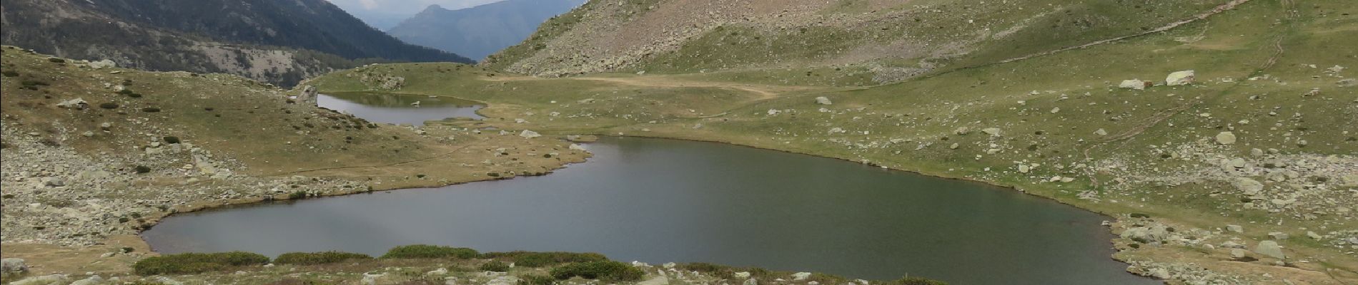
A l'arrivée sur la crête, un chemin bien marqué à droite (pas sur la carte IGN) monte vers un sommet à 2453m. De là, redescente hors sentier facile vers les lacs bien visibles.
Photos


Positioning
Country:
France
Region :
Provence-Alpes-Côte d'Azur
Department/Province :
Maritime Alps
Municipality :
Belvédère
Location:
Unknown
Start:(Dec)
Start:(UTM)
370610 ; 4879388 (32T) N.
Comments