


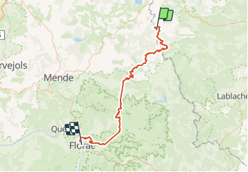


25 km | 34 km-effort


User


FREE GPS app for hiking
 SityTrail
IGN / Geographical institutes
SityTrail World
The world is yours!
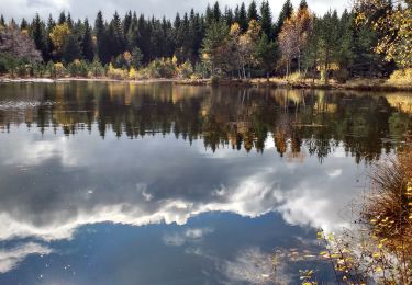
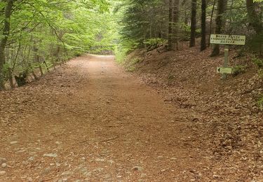
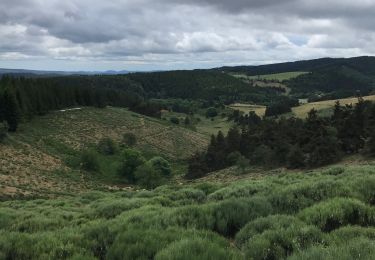
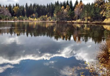
Trail Walking of 95 km to be discovered at Occitania, Lozère, Luc. This trail is proposed by ombrabella.
Départ de Luc, La Bastide St Laurent, Chasseradès,le Blemart, le Pont de Montvert, arrivée Florac


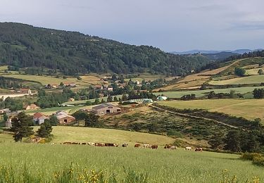
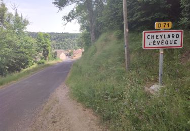
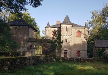
44 photos in total. Please click on a photo to see them all in the gallery.
Walking
Walking

Walking
Walking
Walking
Walking
Walking

Walking