


Fred cap frehel

arnoultjf
User


Length
7.8 km

Max alt
77 m

Uphill gradient
108 m
Km-Effort
9.3 km

Min alt
24 m

Downhill gradient
105 m
Boucle
No
Creation date :
2021-06-06 07:24:35.755
Updated on :
2021-06-09 06:33:25.662
4h50
Difficulty : Medium

FREE GPS app for hiking
 SityTrail
IGN / Geographical institutes
SityTrail Plus
The world is yours!
About
Trail Walking of 7.8 km to be discovered at Brittany, Côtes-d'Armor, Plévenon. This trail is proposed by arnoultjf.
Description
Difficulté moyenne
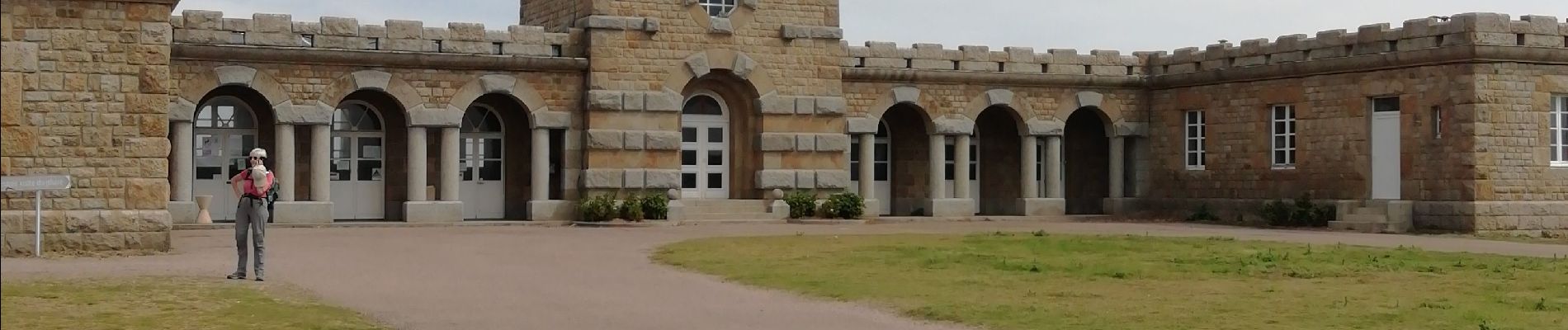
Photos


Positioning
Country:
France
Region :
Brittany
Department/Province :
Côtes-d'Armor
Municipality :
Plévenon
Location:
Unknown
Start:(Dec)
Start:(UTM)
552080 ; 5390409 (30U) N.
Comments