


arsel de junas à joncels

labarone
User
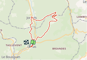

Length
17.5 km

Max alt
615 m

Uphill gradient
547 m
Km-Effort
25 km

Min alt
273 m

Downhill gradient
550 m
Boucle
Yes
Creation date :
2021-06-15 06:46:48.92
Updated on :
2021-06-15 12:46:25.559
5h06
Difficulty : Easy

FREE GPS app for hiking
 SityTrail
IGN / Geographical institutes
SityTrail Plus
The world is yours!
About
Trail Walking of 17.5 km to be discovered at Occitania, Hérault, Lunas. This trail is proposed by labarone.
Description
agréable rando
de jolis villages
sentiers à l ombre d'autres au soleil.
mais vaut mieux ne pas la faire par temps cagnasse comme aujourd'hui !!
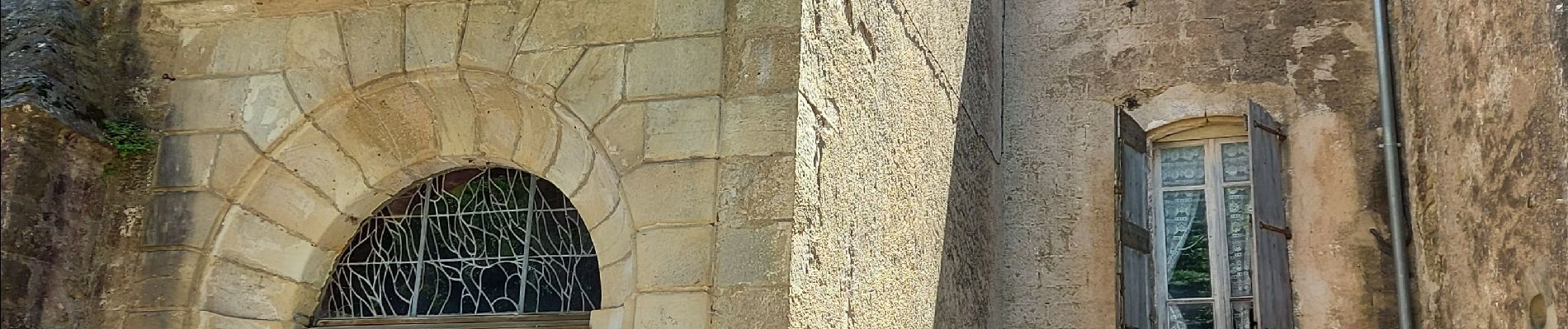
Photos


Positioning
Country:
France
Region :
Occitania
Department/Province :
Hérault
Municipality :
Lunas
Location:
Unknown
Start:(Dec)
Start:(UTM)
515444 ; 4839253 (31T) N.
Comments