


Le mont aigu

c.chehere
User
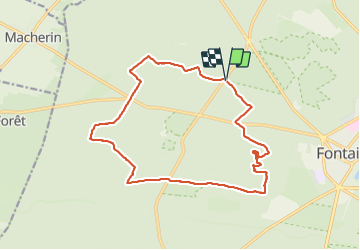

Length
16.9 km

Max alt
142 m

Uphill gradient
253 m
Km-Effort
20 km

Min alt
86 m

Downhill gradient
253 m
Boucle
Yes
Creation date :
2021-06-15 07:32:44.52
Updated on :
2021-06-15 16:29:46.914
5h58
Difficulty : Medium

FREE GPS app for hiking
 SityTrail
IGN / Geographical institutes
SityTrail Plus
The world is yours!
About
Trail Walking of 16.9 km to be discovered at Ile-de-France, Seine-et-Marne, Fontainebleau. This trail is proposed by c.chehere.
Description
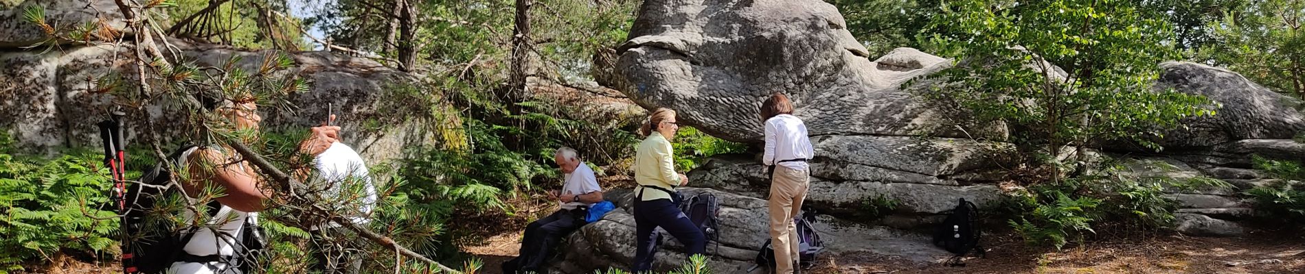
Belle balade agréable par une météo très chaude >30°C
Parking à l'ombre au carrefour des cépées.
Photos


Positioning
Country:
France
Region :
Ile-de-France
Department/Province :
Seine-et-Marne
Municipality :
Fontainebleau
Location:
Unknown
Start:(Dec)
Start:(UTM)
474351 ; 5363187 (31U) N.
Comments