


20210615-Louviers

doudet
User
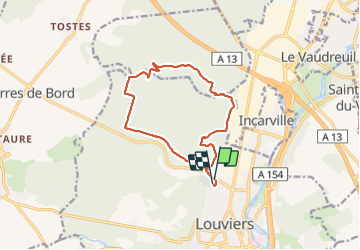

Length
11.8 km

Max alt
127 m

Uphill gradient
257 m
Km-Effort
15.2 km

Min alt
19 m

Downhill gradient
258 m
Boucle
Yes
Creation date :
2021-06-15 12:03:16.985
Updated on :
2021-06-16 07:55:07.6
3h36
Difficulty : Medium

FREE GPS app for hiking
 SityTrail
IGN / Geographical institutes
SityTrail Plus
The world is yours!
About
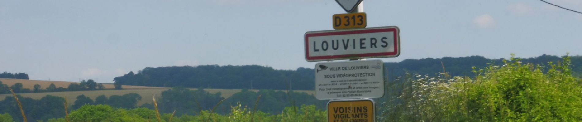
Trail Walking of 11.8 km to be discovered at Normandy, Eure, Louviers. This trail is proposed by doudet.
Description
Boucle A-R au départ du cimetière de Louviers
Photos


Positioning
Country:
France
Region :
Normandy
Department/Province :
Eure
Municipality :
Louviers
Location:
Unknown
Start:(Dec)
Start:(UTM)
366104 ; 5454182 (31U) N.
Comments