


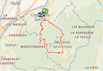

15.8 km | 31 km-effort


User


FREE GPS app for hiking
 SityTrail
IGN / Geographical institutes
SityTrail World
The world is yours!
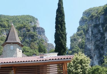
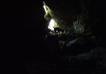
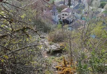
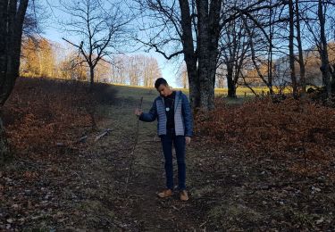
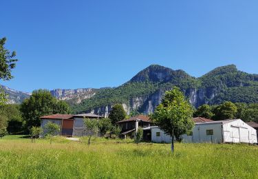
Trail Walking of 15.5 km to be discovered at Auvergne-Rhône-Alpes, Isère, Cognin-les-Gorges. This trail is proposed by Sylvie.P .
Circuit de 15 kms au départ de Cognin les gorges, gorges du Nan et cirque de Malleval en Vercors, ombragé et donc à conseiller par grosse chaleur


Walking

Walking
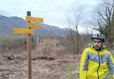
Mountain bike
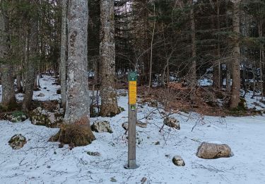
Walking
Walking
Walking
Walking
Walking
Walking