


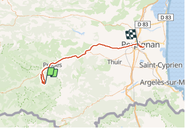
Vernet les bains les tours de Badany

robertperello
User

Length
75 km

Max alt
800 m

Uphill gradient
785 m
Km-Effort
87 km

Min alt
27 m

Downhill gradient
1414 m
Boucle
No
Creation date :
2021-06-16 07:38:40.0
Updated on :
2021-06-16 16:37:27.153
3h33
Difficulty : Easy

FREE GPS app for hiking
 SityTrail
IGN / Geographical institutes
SityTrail Plus
The world is yours!
About
Trail Walking of 75 km to be discovered at Occitania, Pyrénées-Orientales, Vernet-les-Bains. This trail is proposed by robertperello.
Description
Parking casino /chapelle saint clément de
La serra
Dolmen/ citerne de Vauban/tour de badany
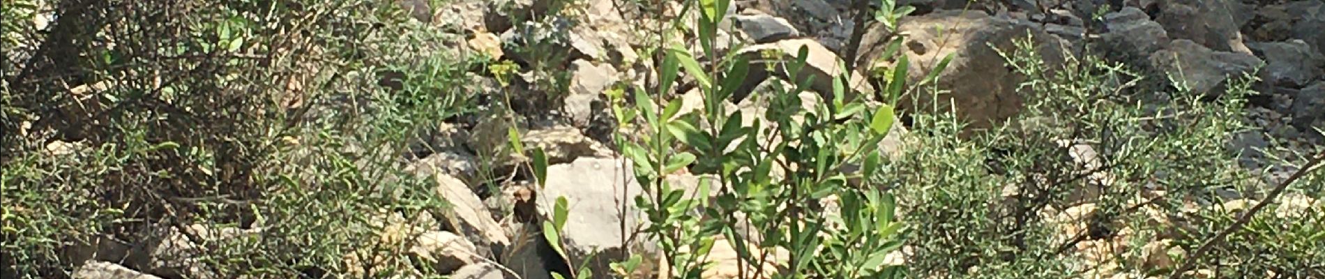
Photos


Positioning
Country:
France
Region :
Occitania
Department/Province :
Pyrénées-Orientales
Municipality :
Vernet-les-Bains
Location:
Unknown
Start:(Dec)
Start:(UTM)
449748 ; 4710400 (31T) N.
Comments