


Signal de Nivigne par la grotte à l'Ours

MarcVachet
User
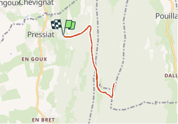

Length
7 km

Max alt
769 m

Uphill gradient
371 m
Km-Effort
12 km

Min alt
404 m

Downhill gradient
370 m
Boucle
Yes
Creation date :
2021-06-19 12:24:24.5
Updated on :
2021-06-20 07:20:32.454
2h46
Difficulty : Medium

FREE GPS app for hiking
 SityTrail
IGN / Geographical institutes
SityTrail Plus
The world is yours!
About
Trail Walking of 7 km to be discovered at Auvergne-Rhône-Alpes, Ain, Val-Revermont. This trail is proposed by MarcVachet.
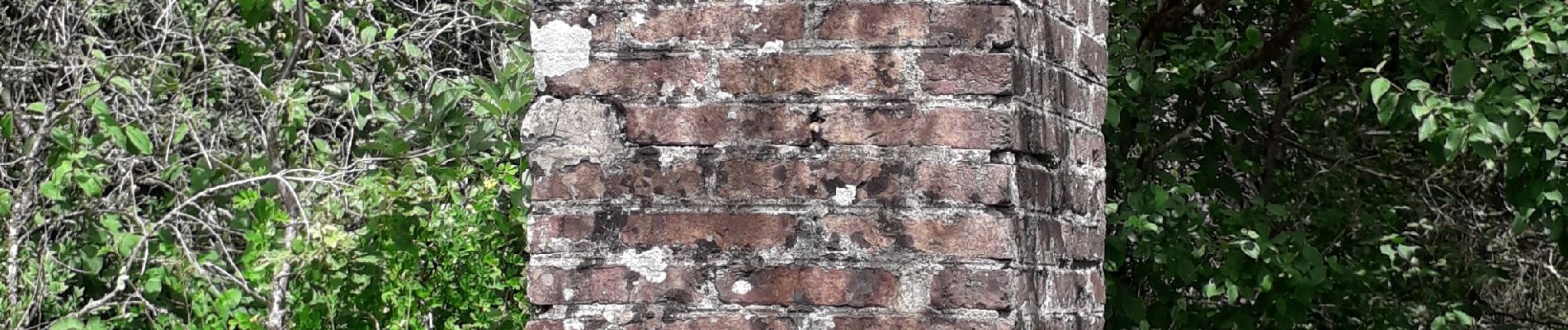
Photos


Positioning
Country:
France
Region :
Auvergne-Rhône-Alpes
Department/Province :
Ain
Municipality :
Val-Revermont
Location:
Pressiat
Start:(Dec)
Start:(UTM)
684202 ; 5132680 (31T) N.
Comments