


Crêt du midi-Ban Rouge-Vorès

janussity
User
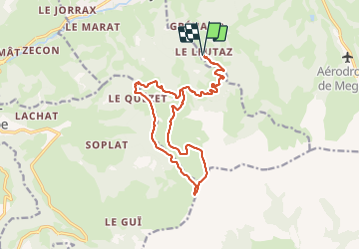

Length
17.7 km

Max alt
2055 m

Uphill gradient
867 m
Km-Effort
29 km

Min alt
1313 m

Downhill gradient
867 m
Boucle
Yes
Creation date :
2021-06-21 06:31:15.832
Updated on :
2021-06-21 12:51:53.611
5h03
Difficulty : Difficult

FREE GPS app for hiking
 SityTrail
IGN / Geographical institutes
SityTrail Plus
The world is yours!
About
Trail Walking of 17.7 km to be discovered at Auvergne-Rhône-Alpes, Upper Savoy, Megève. This trail is proposed by janussity.
Description
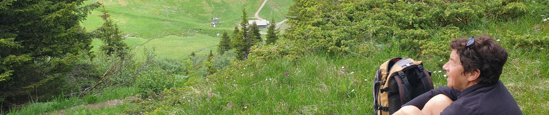
Beau temps, orageux à la fin .temps sec.
Photos


Positioning
Country:
France
Region :
Auvergne-Rhône-Alpes
Department/Province :
Upper Savoy
Municipality :
Megève
Location:
Unknown
Start:(Dec)
Start:(UTM)
313583 ; 5077178 (32T) N.
Comments