


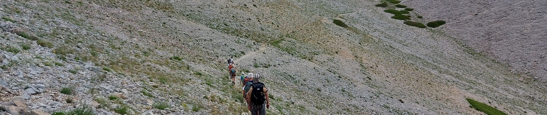
du chalet renard au sommet du ventoux

labarone
User


Length
13.8 km

Max alt
1910 m

Uphill gradient
595 m
Km-Effort
22 km

Min alt
1421 m

Downhill gradient
595 m
Boucle
Yes
Creation date :
2021-06-22 07:25:33.169
Updated on :
2021-06-22 17:01:04.444
4h32
Difficulty : Medium

FREE GPS app for hiking
 SityTrail
IGN / Geographical institutes
SityTrail Plus
The world is yours!
About
Trail Walking of 13.8 km to be discovered at Provence-Alpes-Côte d'Azur, Vaucluse, Bédoin. This trail is proposed by labarone.
Description
à faire une fois..temps peut être variable
si doute prendre contre froid ou pluie
Photos


Positioning
Country:
France
Region :
Provence-Alpes-Côte d'Azur
Department/Province :
Vaucluse
Municipality :
Bédoin
Location:
Unknown
Start:(Dec)
Start:(UTM)
685407 ; 4891350 (31T) N.
Comments