


Mont Joly depuis le Plannelet via Mt d'Arbois

janussity
User
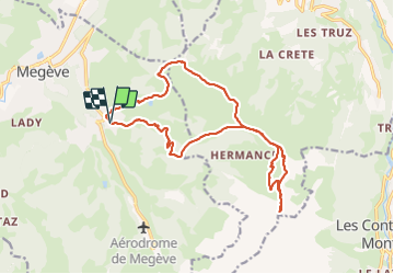

Length
17.1 km

Max alt
2499 m

Uphill gradient
1267 m
Km-Effort
34 km

Min alt
1313 m

Downhill gradient
1264 m
Boucle
Yes
Creation date :
2021-06-23 06:34:53.409
Updated on :
2021-06-23 13:45:27.318
5h30
Difficulty : Difficult

FREE GPS app for hiking
 SityTrail
IGN / Geographical institutes
SityTrail Plus
The world is yours!
About
Trail Walking of 17.1 km to be discovered at Auvergne-Rhône-Alpes, Upper Savoy, Megève. This trail is proposed by janussity.
Description
temps couvert mi ensoleillé
Photos


Positioning
Country:
France
Region :
Auvergne-Rhône-Alpes
Department/Province :
Upper Savoy
Municipality :
Megève
Location:
Unknown
Start:(Dec)
Start:(UTM)
316709 ; 5079586 (32T) N.
Comments