


20210626-St Pierre des Fleurs

doudet
User

Length
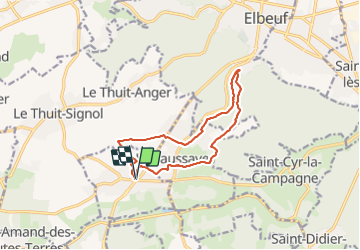
11.1 km

Max alt
153 m

Uphill gradient
135 m
Km-Effort
12.9 km

Min alt
58 m

Downhill gradient
135 m
Boucle
Yes
Creation date :
2021-06-26 11:55:08.953
Updated on :
2021-06-27 06:39:57.803
3h01
Difficulty : Easy

FREE GPS app for hiking
 SityTrail
IGN / Geographical institutes
SityTrail Plus
The world is yours!
About
Trail Walking of 11.1 km to be discovered at Normandy, Eure, Saint-Pierre-des-Fleurs. This trail is proposed by doudet.
Description
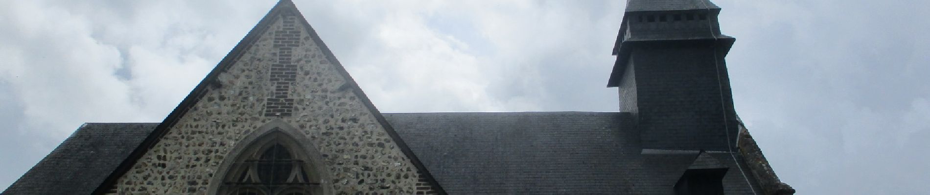
Boucle A-R au départ de l'Eglise
Photos


Positioning
Country:
France
Region :
Normandy
Department/Province :
Eure
Municipality :
Saint-Pierre-des-Fleurs
Location:
Unknown
Start:(Dec)
Start:(UTM)
351998 ; 5457339 (31U) N.
Comments