


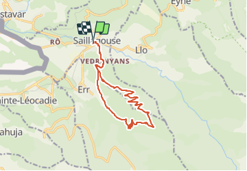

11.8 km | 18.2 km-effort


User


FREE GPS app for hiking
 SityTrail
IGN / Geographical institutes
SityTrail World
The world is yours!
Trail Walking of 16.2 km to be discovered at Occitania, Pyrénées-Orientales, Saillagouse. This trail is proposed by ThonyM.
Les 700m sur les premiers 7 km. Tres belle vues sur Saillagouse


Walking

Walking

Walking

Walking

Walking
Walking

Walking

Walking

Trail
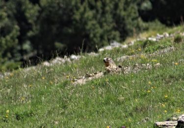
Randonnée sympa avec retour par la forêt, de bien beaux papillons observables tout au long du trajet.