


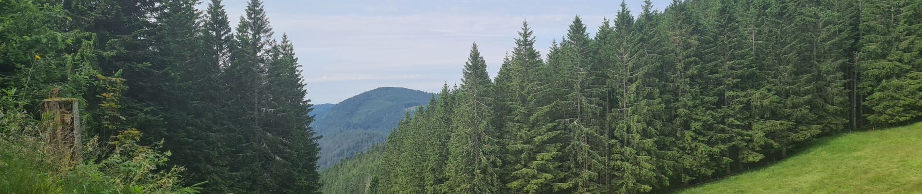
Gazon du Faing

Claudele
User
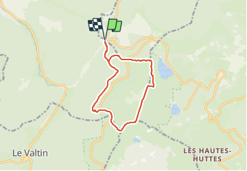

Length
11.3 km

Max alt
1304 m

Uphill gradient
353 m
Km-Effort
16 km

Min alt
984 m

Downhill gradient
354 m
Boucle
Yes
Creation date :
2021-06-27 08:19:35.582
Updated on :
2021-06-27 18:44:05.111
4h52
Difficulty : Difficult

FREE GPS app for hiking
 SityTrail
IGN / Geographical institutes
SityTrail Plus
The world is yours!
About
Trail Walking of 11.3 km to be discovered at Grand Est, Vosges, Plainfaing. This trail is proposed by Claudele.
Photos


29 photos in total. Please click on a photo to see them all in the gallery.
Positioning
Country:
France
Region :
Grand Est
Department/Province :
Vosges
Municipality :
Plainfaing
Location:
Unknown
Start:(Dec)
Start:(UTM)
355788 ; 5333240 (32U) N.
Comments