


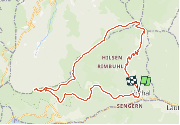


12.7 km | 20 km-effort

User


FREE GPS app for hiking
 SityTrail
IGN / Geographical institutes
SityTrail World
The world is yours!
Trail Walking of 23 km to be discovered at Grand Est, Haut-Rhin, Linthal. This trail is proposed by Bart2015.
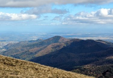
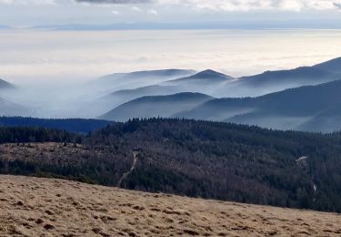
Randonnée pour les amoureux de la marche avec de belles vues sur les montagnes alentour dont le Grand Ballon. La montée au Klintzkopf mérite le détour.
Bonne rando ...


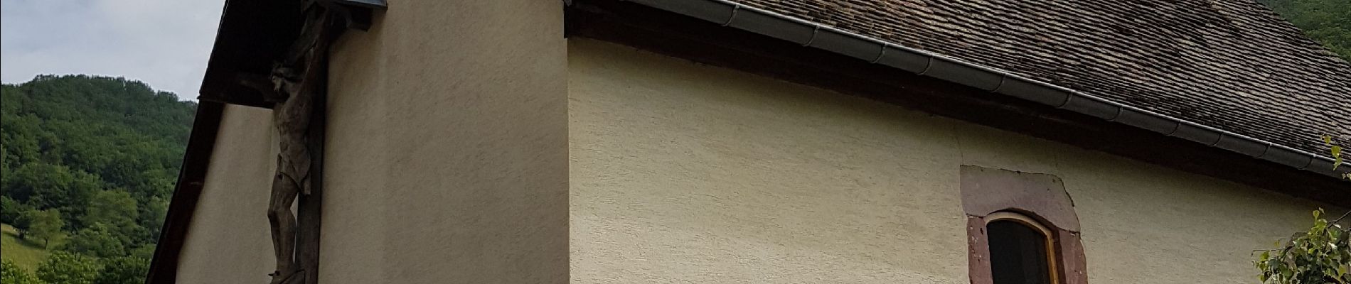
22 photos in total. Please click on a photo to see them all in the gallery.

Walking

Walking

Walking
Walking

Walking

On foot
Walking
Walking

Walking