


panne

nouga
User

Length
63 km

Max alt
368 m

Uphill gradient
851 m
Km-Effort
74 km

Min alt
173 m

Downhill gradient
870 m
Boucle
No
Creation date :
2021-07-04 06:37:55.633
Updated on :
2021-07-04 16:51:39.016
3h53
Difficulty : Very difficult

FREE GPS app for hiking
 SityTrail
IGN / Geographical institutes
SityTrail Plus
The world is yours!
About
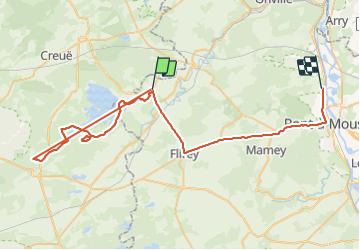
Trail Mountain bike of 63 km to be discovered at Grand Est, Meurthe-et-Moselle, Pannes. This trail is proposed by nouga.
Positioning
Country:
France
Region :
Grand Est
Department/Province :
Meurthe-et-Moselle
Municipality :
Pannes
Location:
Unknown
Start:(Dec)
Start:(UTM)
705265 ; 5423847 (31U) N.
Comments