


boucle d'Ucel

BrassensJC
User


Length
8.2 km

Max alt
415 m

Uphill gradient
239 m
Km-Effort
11.4 km

Min alt
230 m

Downhill gradient
239 m
Boucle
Yes
Creation date :
2021-07-05 13:17:40.505
Updated on :
2021-07-05 15:53:25.374
2h34
Difficulty : Medium

FREE GPS app for hiking
 SityTrail
IGN / Geographical institutes
SityTrail Plus
The world is yours!
About
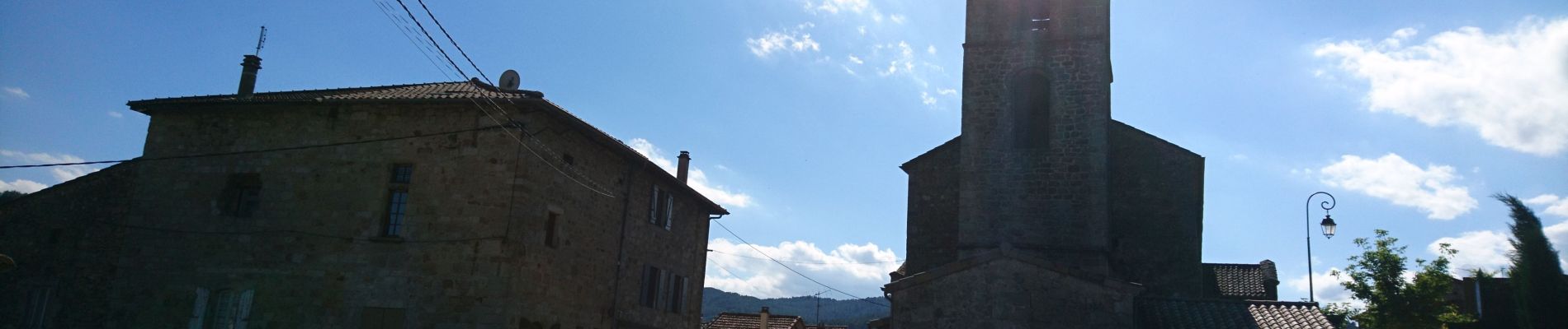
Trail Walking of 8.2 km to be discovered at Auvergne-Rhône-Alpes, Ardèche, Ucel. This trail is proposed by BrassensJC.
Photos

Positioning
Country:
France
Region :
Auvergne-Rhône-Alpes
Department/Province :
Ardèche
Municipality :
Ucel
Location:
Unknown
Start:(Dec)
Start:(UTM)
609751 ; 4944159 (31T) N.
Comments