


BAUDINARD MONPEZAT

Daniel Benteux
User
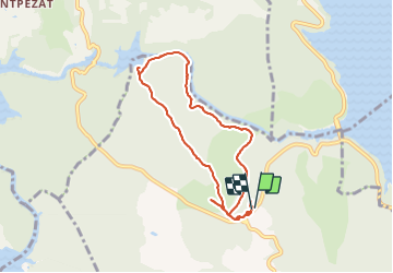

Length
7.8 km

Max alt
603 m

Uphill gradient
246 m
Km-Effort
11.1 km

Min alt
407 m

Downhill gradient
243 m
Boucle
Yes
Creation date :
2021-07-06 08:44:35.41
Updated on :
2021-07-06 16:59:43.259
2h35
Difficulty : Easy

FREE GPS app for hiking
 SityTrail
IGN / Geographical institutes
SityTrail Plus
The world is yours!
About
Trail Walking of 7.8 km to be discovered at Provence-Alpes-Côte d'Azur, Var, Baudinard-sur-Verdon. This trail is proposed by Daniel Benteux.
Description
marche
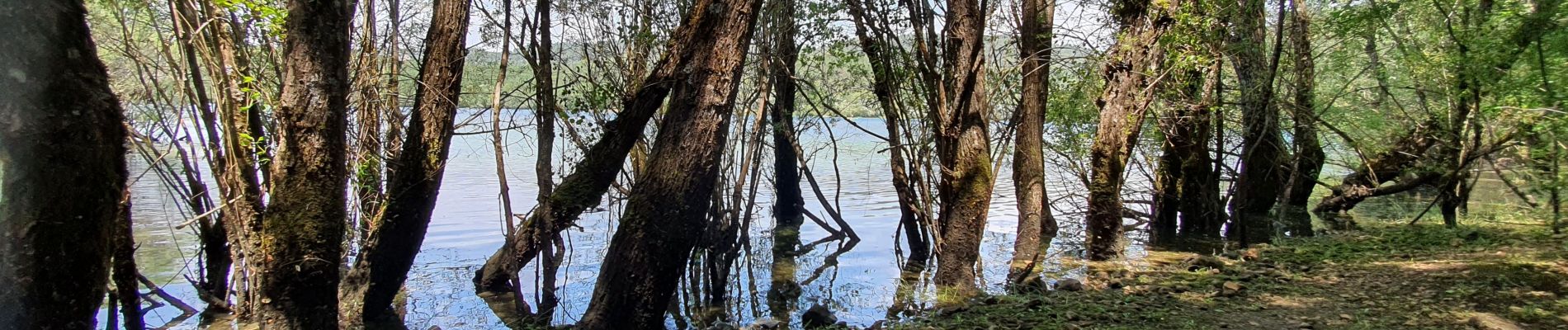
Photos


Positioning
Country:
France
Region :
Provence-Alpes-Côte d'Azur
Department/Province :
Var
Municipality :
Baudinard-sur-Verdon
Location:
Unknown
Start:(Dec)
Start:(UTM)
268566 ; 4845731 (32T) N.
Comments