


Saint Sauveur

PEBREJOSIANE
User
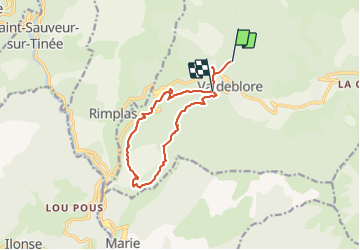

Length
13.3 km

Max alt
1291 m

Uphill gradient
592 m
Km-Effort
22 km

Min alt
668 m

Downhill gradient
884 m
Boucle
No
Creation date :
2014-12-10 00:00:00.0
Updated on :
2014-12-10 00:00:00.0
4h18
Difficulty : Unknown

FREE GPS app for hiking
 SityTrail
IGN / Geographical institutes
SityTrail Plus
The world is yours!
About
Trail Other activity of 13.3 km to be discovered at Provence-Alpes-Côte d'Azur, Maritime Alps, Valdeblore. This trail is proposed by PEBREJOSIANE.
Description
Petite rando au départ de St Dalmas Valdeblore
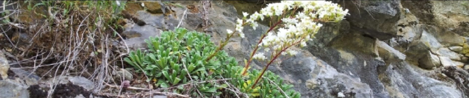
Photos

Positioning
Country:
France
Region :
Provence-Alpes-Côte d'Azur
Department/Province :
Maritime Alps
Municipality :
Valdeblore
Location:
Unknown
Start:(Dec)
Start:(UTM)
353704 ; 4881998 (32T) N.
Comments