


boucle étang long et étang rond

petit-pied
User
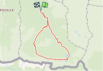

Length
18.4 km

Max alt
2400 m

Uphill gradient
1533 m
Km-Effort
39 km

Min alt
937 m

Downhill gradient
1536 m
Boucle
Yes
Creation date :
2021-07-11 07:00:33.504
Updated on :
2021-07-12 08:42:59.029
19h33
Difficulty : Very difficult

FREE GPS app for hiking
 SityTrail
IGN / Geographical institutes
SityTrail Plus
The world is yours!
About
Trail Walking of 18.4 km to be discovered at Occitania, Ariège, Bordes-Uchentein. This trail is proposed by petit-pied.
Positioning
Country:
France
Region :
Occitania
Department/Province :
Ariège
Municipality :
Bordes-Uchentein
Location:
Les Bordes-sur-Lez
Start:(Dec)
Start:(UTM)
339087 ; 4744115 (31T) N.
Comments