


Boucle Barbotan - Nord Est

MarcLEBARON
User
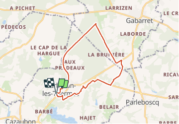

Length
14.2 km

Max alt
179 m

Uphill gradient
135 m
Km-Effort
15.9 km

Min alt
114 m

Downhill gradient
128 m
Boucle
Yes
Creation date :
2021-07-15 13:40:33.268
Updated on :
2021-07-15 17:05:55.881
3h05
Difficulty : Very easy

FREE GPS app for hiking
 SityTrail
IGN / Geographical institutes
SityTrail Plus
The world is yours!
About
Trail Walking of 14.2 km to be discovered at Occitania, Gers, Cazaubon. This trail is proposed by MarcLEBARON.
Description
Aucune difficulté, sur la fin les lignes droites "sans fin" ont été un peu ennuyeuses pour moi tout en étant en grande partie en sous-bois.
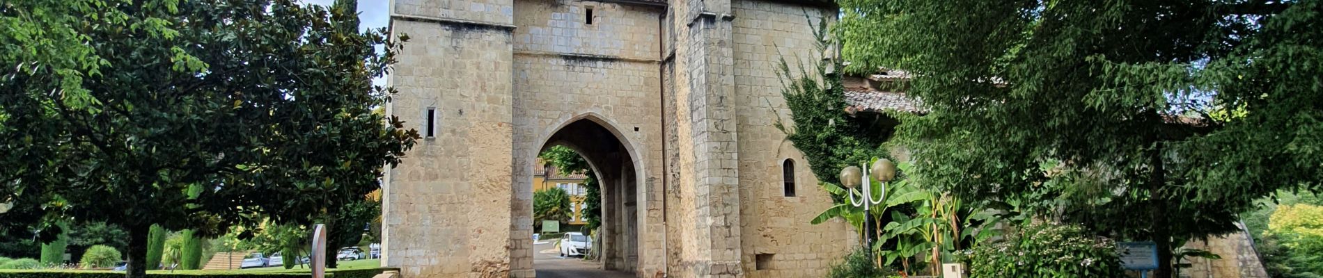
Photos


Positioning
Country:
France
Region :
Occitania
Department/Province :
Gers
Municipality :
Cazaubon
Location:
Unknown
Start:(Dec)
Start:(UTM)
736966 ; 4870387 (30T) N.
Comments