


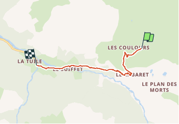
col du petit mt Cenis/ le Planey

gdela
User

Length
4.8 km

Max alt
2204 m

Uphill gradient
13 m
Km-Effort
6.7 km

Min alt
1663 m

Downhill gradient
540 m
Boucle
No
Creation date :
2021-07-19 11:40:07.522
Updated on :
2021-07-19 18:06:05.305
1h32
Difficulty : Difficult

FREE GPS app for hiking
 SityTrail
IGN / Geographical institutes
SityTrail Plus
The world is yours!
About
Trail Walking of 4.8 km to be discovered at Auvergne-Rhône-Alpes, Savoy, Val-Cenis. This trail is proposed by gdela.
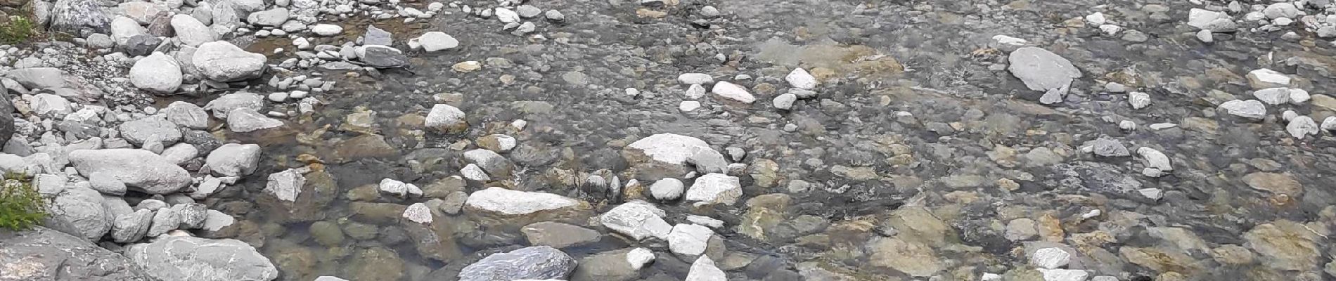
Photos


Positioning
Country:
France
Region :
Auvergne-Rhône-Alpes
Department/Province :
Savoy
Municipality :
Val-Cenis
Location:
Bramans
Start:(Dec)
Start:(UTM)
332844 ; 5008627 (32T) N.
Comments