Trail Walking Vexaincourt - Le charme mystérieux du lac de la Maix - Photo

Le charme mystérieux du lac de la Maix

© OpenStreetMap contributors
Length
Length
9.6 km
Max alt
Max alt
760 m
Uphill gradient
Uphill gradient
440 m
Km-Effort
Km-Effort  
15.4 km
Min alt
Min alt
369 m
Downhill gradient
Downhill gradient
440 m
Boucle
Boucle
Yes
Creation date :
2021-07-20 09:25:02.023
Updated on :
2021-07-21 19:12:51.294

(0 Reviews)

Walking
Walking
3h29
Difficulty : Medium

Scan this QR Code to open this trail in the SityTrail application

FREE GPS app for hiking

Logo SityTrail SityTrail

IGN / Geographical institutes

Download SityTrail from the App Store Download SityTrail from Google Play

Logo SityTrail SityTrail World

The world is yours!

Download SityTrail from the App Store Download SityTrail from Google Play Download SityTrail on Huawei AppGallery

About

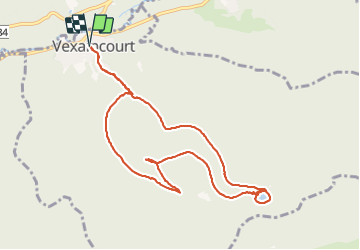
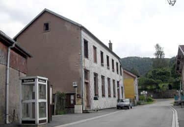
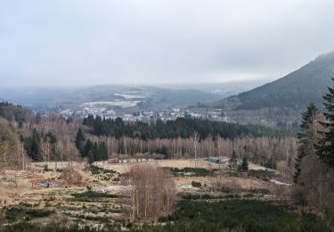
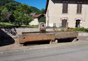
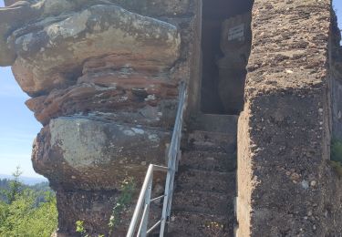
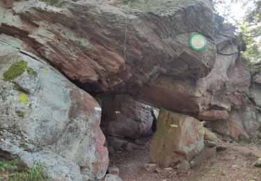
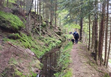
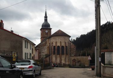
Trail Walking of 9.6 km to be discovered at Grand Est, Vosges, Vexaincourt. This trail is proposed by VacheKiri67.

Description

Faite le 20/07/2021. Au départ de Vexaincourt.
D'après "Passion Vosges : Lacs et cascades - 12 : Le charme mystérieux du lac de la Maix". Durée indiquée pour le circuit : 3h00.
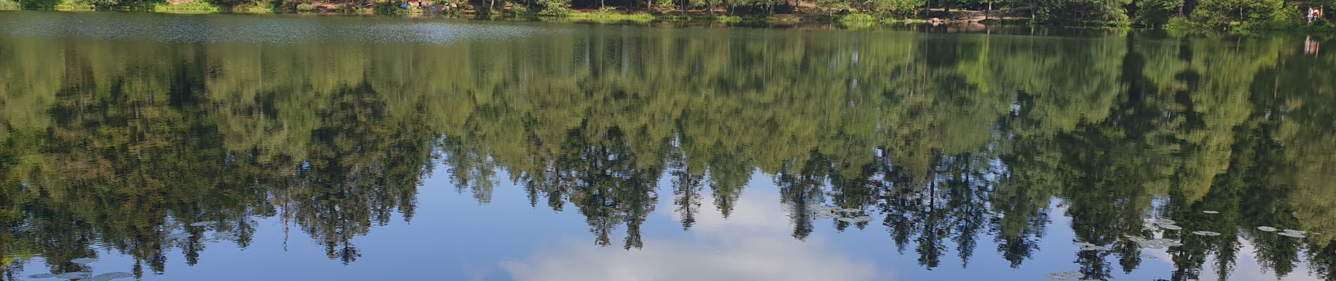
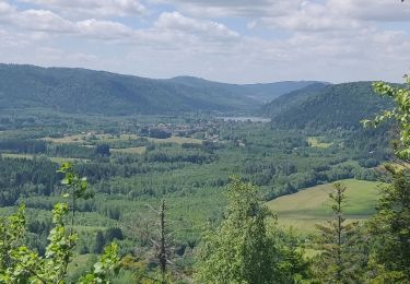
Cette petite randonnée est un bijou, très beaux sentiers et charmant petit lac.

Elevation profile

Photos

23 photos in total. Please click on a photo to see them all in the gallery.

Positioning

Country:
France
Region :
Grand Est
Department/Province :
Vosges
Municipality :
Vexaincourt
Location:
Unknown
Start:(UTM)
355573 ; 5372935 (32U) N.

Trails nearby

Trail On foot Grandfontaine - Circuit du Chemin d'Allemagne - Photo
On foot
PRO

On foot

Easy
Grandfontaine, Grand Est, Bas-Rhin, France
8.7 km | 13.9 km-effort
3h 10min
No
Trail Walking Allarmont - 2019-06-08 Marche Allarmont et ses rochers - Photo
Walking
GUIDE
holtzv

Walking

Very easy
Allarmont, Grand Est, Vosges, France
10.7 km | 16.5 km-effort
2h 55min
Yes
Trail Walking Raon-sur-Plaine - Cascade de la Crache - Photo
Walking
Le_Grand

Walking

Easy
(1)
Raon-sur-Plaine, Grand Est, Vosges, France
3.8 km | 5.9 km-effort
1h 16min
Yes
Trail Walking Grandfontaine - suuntoapp-Hiking-2024-01-13T07-49-52Z - Photo
Walking
GUIDE
holtzv

Walking

Difficult
Grandfontaine, Grand Est, Bas-Rhin, France
24 km | 34 km-effort
7h 41min
No
Trail Walking Vexaincourt - Vexaincourt - lac et chapelle de la Maix - Photo
Walking
Bart2015

Walking

Medium
Vexaincourt, Grand Est, Vosges, France
16.3 km | 24 km-effort
3h 50min
Yes
Trail Walking Celles-sur-Plaine - Tête du coquin  - Photo
Walking
didier cornelius

Walking

Very difficult
Celles-sur-Plaine, Grand Est, Vosges, France
11.6 km | 19 km-effort
2h 15min
Yes
Trail Walking Celles-sur-Plaine - tête du coquin  - Photo
Walking
didier cornelius

Walking

Difficult
Celles-sur-Plaine, Grand Est, Vosges, France
10.6 km | 17.6 km-effort
2h 35min
Yes
Trail Walking Saint-Sauveur - scierie Machet - Photo
Walking
didier cornelius

Walking

Medium
Saint-Sauveur, Grand Est, Meurthe-et-Moselle, France
18.3 km | 25 km-effort
20h 36min
Yes
Trail On foot Celles-sur-Plaine - Sentier des Sources - Photo
On foot
PRO

On foot

Easy
Celles-sur-Plaine, Grand Est, Vosges, France
4.5 km | 6.1 km-effort
1h 22min
No


Close
My subscriptions