


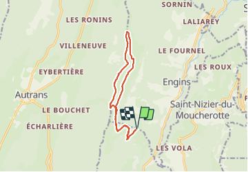
Charande depuis les Aigaux

michel.pegaz
User

Length
12.8 km

Max alt
1714 m

Uphill gradient
548 m
Km-Effort
20 km

Min alt
1256 m

Downhill gradient
549 m
Boucle
Yes
Creation date :
2021-07-20 07:15:12.0
Updated on :
2021-08-21 20:15:08.004
4h53
Difficulty : Medium

FREE GPS app for hiking
 SityTrail
IGN / Geographical institutes
SityTrail Plus
The world is yours!
About
Trail Walking of 12.8 km to be discovered at Auvergne-Rhône-Alpes, Isère, Lans-en-Vercors. This trail is proposed by michel.pegaz.
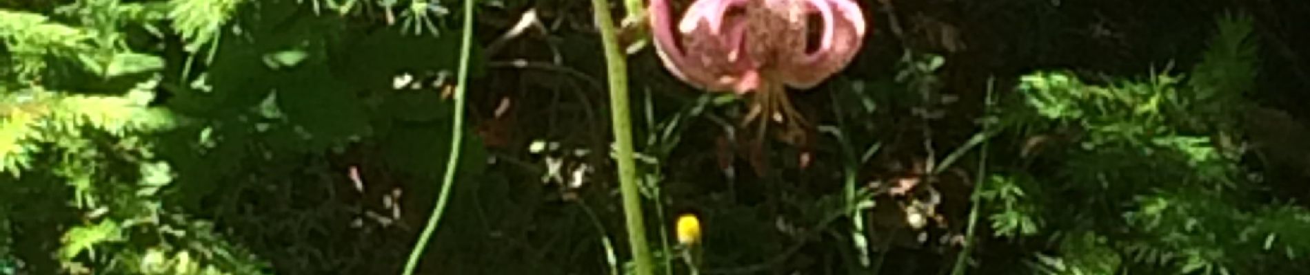
Photos


Positioning
Country:
France
Region :
Auvergne-Rhône-Alpes
Department/Province :
Isère
Municipality :
Lans-en-Vercors
Location:
Unknown
Start:(Dec)
Start:(UTM)
704106 ; 5004432 (31T) N.
Comments