


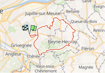
Grivegnée Beyne-Heusay Jupille Grivegnée

chantalandre
User


2h54
Difficulty : Medium

FREE GPS app for hiking
 SityTrail
IGN / Geographical institutes
SityTrail Plus
The world is yours!
About
Trail Walking of 14.3 km to be discovered at Wallonia, Liège, Liège. This trail is proposed by chantalandre.
Description
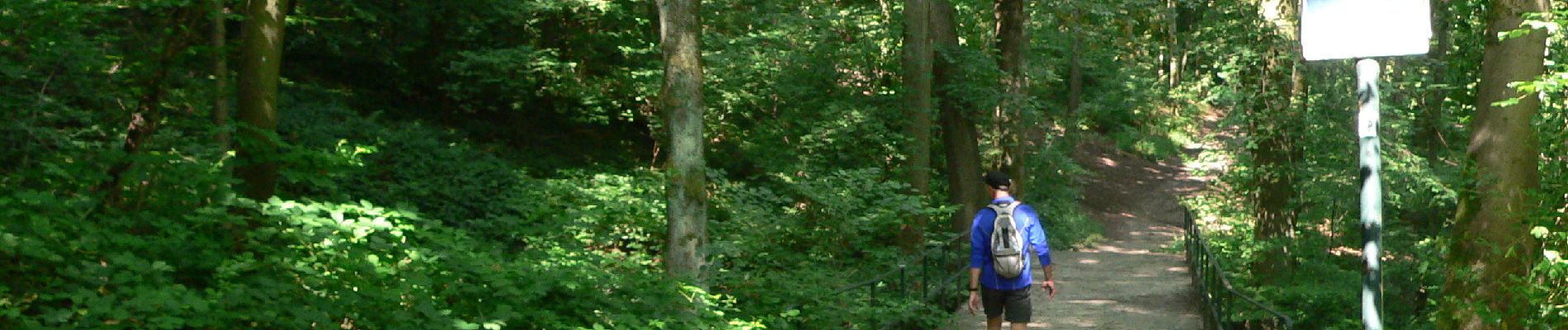
Joli parcours rejoignant Beyne-heusay par la chapelle Sainte-Anne le long de prairies, avec de beaux panoramas sur la vallée de la vesdre et sur Liège; passant sur les hauteurs de Jupille-sur-Meuse et traversant les bois de Fayenbois pour retrouver les hauteurs de Grivegnée. Pas de difficultés
Photos


Positioning
Comments
un peu trop de routes, dont une partie dangereuse (pas d'accotement)