


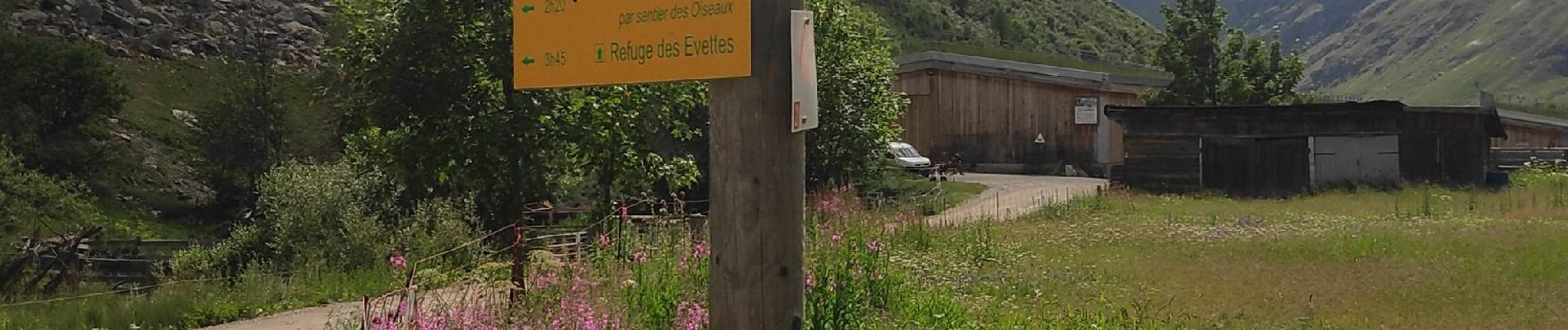
l'Ecot retour par sentier des Alouettes

gdela
User
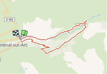

Length
9.6 km

Max alt
2080 m

Uphill gradient
303 m
Km-Effort
13.6 km

Min alt
1802 m

Downhill gradient
305 m
Boucle
Yes
Creation date :
2021-07-21 09:09:59.537
Updated on :
2021-07-21 18:37:42.718
2h50
Difficulty : Medium

FREE GPS app for hiking
 SityTrail
IGN / Geographical institutes
SityTrail Plus
The world is yours!
About
Trail Walking of 9.6 km to be discovered at Auvergne-Rhône-Alpes, Savoy, Bonneval-sur-Arc. This trail is proposed by gdela.
Photos


Positioning
Country:
France
Region :
Auvergne-Rhône-Alpes
Department/Province :
Savoy
Municipality :
Bonneval-sur-Arc
Location:
Unknown
Start:(Dec)
Start:(UTM)
347547 ; 5026338 (32T) N.
Comments