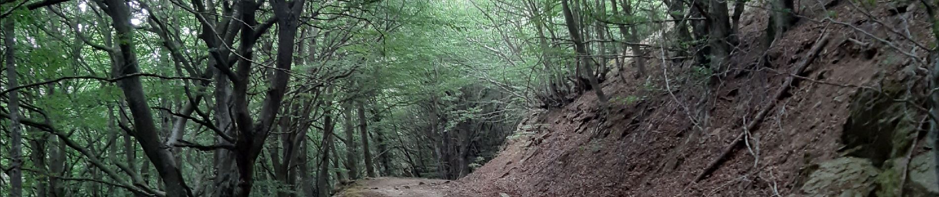
col de l ullat . puig d orella . puîg sant cristau . col de l ullat

stef789
User GUIDE
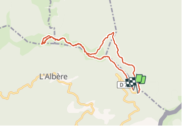

Length
10.2 km

Max alt
1020 m

Uphill gradient
308 m
Km-Effort
14.4 km

Min alt
875 m

Downhill gradient
326 m
Boucle
Yes
Creation date :
2021-07-23 11:32:42.808
Updated on :
2021-07-23 17:10:00.166
4h36
Difficulty : Medium

FREE GPS app for hiking
 SityTrail
IGN / Geographical institutes
SityTrail Plus
The world is yours!
About
Trail Walking of 10.2 km to be discovered at Occitania, Pyrénées-Orientales, L'Albère. This trail is proposed by stef789.
Photos


Positioning
Country:
France
Region :
Occitania
Department/Province :
Pyrénées-Orientales
Municipality :
L'Albère
Location:
Unknown
Start:(Dec)
Start:(UTM)
493501 ; 4703064 (31T) N.
Comments