


Moi

raygautier
User
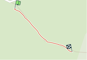

Length
135 m

Max alt
694 m

Uphill gradient
5 m
Km-Effort
185 m

Min alt
686 m

Downhill gradient
0 m
Boucle
No
Creation date :
2021-07-25 13:00:48.0
Updated on :
2021-07-25 13:05:28.148
4m
Difficulty : Easy

FREE GPS app for hiking
 SityTrail
IGN / Geographical institutes
SityTrail Plus
The world is yours!
About
Trail Walking of 135 m to be discovered at Auvergne-Rhône-Alpes, Drôme, Plan-de-Baix. This trail is proposed by raygautier.
Positioning
Country:
France
Region :
Auvergne-Rhône-Alpes
Department/Province :
Drôme
Municipality :
Plan-de-Baix
Location:
Unknown
Start:(Dec)
Start:(UTM)
671433 ; 4964064 (31T) N.
Comments